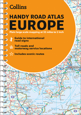
Handy road atlas of Europe with lie-flat spiral binding. Scenic routes are plotted on the maps. Scale: 34 miles to 1 inch. Euroroutes and motorways are easily distinguished. International road classifications, road distances and land height are shown by attractive layer tints. Features: Route planning maps at 1:6,340,000 with political coloring, country fact file, information on international road signs, main road maps at 1:2,174,000. Includes Ireland, France and Hungary motorways,